History
The picturesque village of Khirokitia stands on a hilly area in the district of Larnaca, about 33 kilometres from the city of Larnaca and it connects south-easterly through the Limassol-Nicosia motorway with these two cities. On the north it connects with the villages of Pano (Upper) and Kato (Lower) Lefkara and north-westerly with the village Vavla.
Khirokitia is built at an average altitude of 220 meters above sea level and the river of Agios Minas fragments its landscape. Khirokitia receives an annual average rainfall of about 450 millimetres; citrus, olive, and locust trees, cereals, forage plants, vegetables and a few fruit trees are cultivated in the region.
The refinery of Khirokitia lies north-east of the village, which is supplied with water from the dams of Lefkara and of Dipotamos. After being distilled, the water is channelled through water-pipes to the areas of Nicosia, Larnaca, and Famagusta for water supply purposes.
Regarding the origins of the name of the settlement, the Great Encyclopaedia of Cyprus reports that:
According to the dominating opinion the name of the village is a composite of the word “Khiros” (hog / pig) and the word “Kiti”, thus suggesting an area where pigs were raised. According to others, the name originally was “Sidirokitida”, thus an area were iron was found. It is also said that it might have originated from the word “Khirogetia”, which implies the practice of palmistry. According to another opinion, it may have originated from some initial name like “Ierokitida” (Sacred place). Some -more imaginative -others claim that the name came from the words “gyros” and “oikia” due to the fact that the prehistoric huts that were discovered there were round. Furthermore tradition says that it came from the phrase “Chere Kitia” that the notorious and mysterious “rigena” (Queen) of Cyprus used to address a certain female friend of hers from Kition. It was also claimed that maybe the name originated from the plant Annona Cherimoya, which is found cultivated in Cyprus under the more simple name “Cheromolia”, although this is considered very unlikely. At any rate, in old maps the village is marked as Cherochetica and as Chierochitia.
Also according to the Great Encyclopaedia of Cyprus, the village was granted -since the beginning of the Frank domination -to the Order of the Knights Templar and then to the Order of St. John of Jerusalem (Knights Hospitallers), which kept the area as an important administrative feud. The Tower, that is, the main structure of the feud of Khirokitia is found very close to the location where the church of “Panagia tou Kampou” stands. Only the slightest traces remain today from the Tower of Khirokitia, which was destroyed by the Mamelukes after their victory in 1426 and became known later under the name Seraen.
The village has undergone great fluctuation of population. In 1881 its inhabitants were 337, which increased to 384 in 1891 and to 395 in 1901. In 1911 the inhabitants increased to 493 and in 1921 to 514. In 1931 the inhabitants were reduced to 473 only to increase to 560 in 1946. In 1960 they decreased to 406 and in 1976 to 383. In 1982 the inhabitants decreased to 369 and in 2001 the inhabitants run up to 650. Archeologists and students of archeology that are occupied from time to time in the archeological excavations at the Neolithic settlement are seasonally included in the population of the village. The progress of the population has recently presented an upward course. Khirokitia is at the center of the road network that connects the 3 large cities of Cyprus, Nicosia, Limassol, and Larnaca. Furthermore the operation of the water refinery and of the Cement Industry of Vasiliko play an important role in providing an occupation.
The village is characterized by the intense presence of historical elements that go back to the most distant past of the history of Cyprus. In the east side of the village, upon the slope of a hill, lies the ancient Neolithic settlement of Khirokitia, the existence of which dates back the sixth millennium BC and was unveiled by the archaeological pick-axe in 1934 and made the name of Khirokitia known world wide due to the importance of this settlement for its information and findings about the Neolithic Era of the Prehistory of Cyprus.
Projects
Education
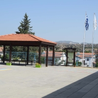
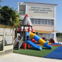
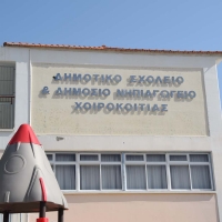
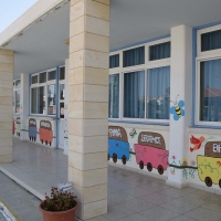
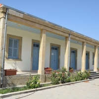
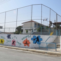
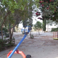
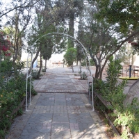
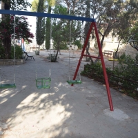
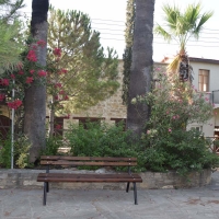
The Core of the Village
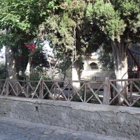
Tourism Development
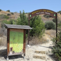
Nature Trail
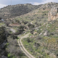
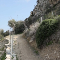
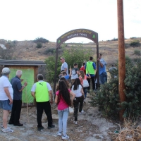
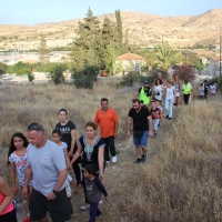
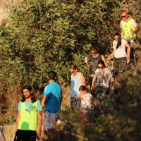
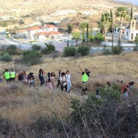
The Community Council of Khirokitia, in the context of the development of the wider area of the village, has created an amazing Nature Trail, which joins the village with the archeological site of Khirokitia.
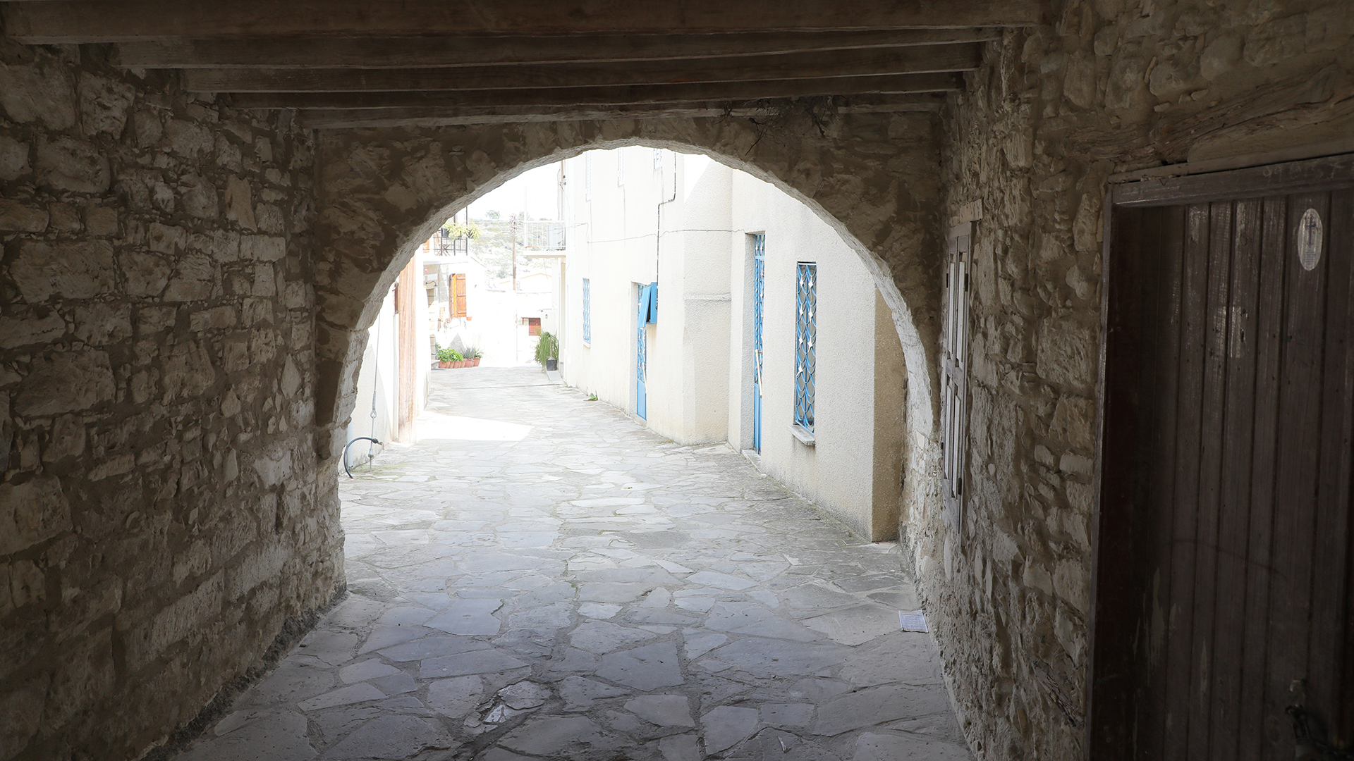
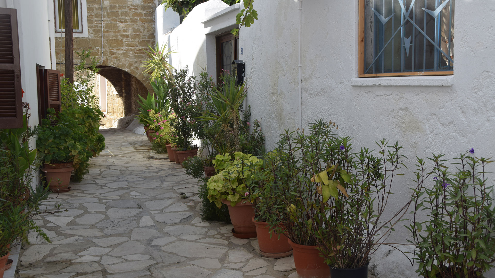
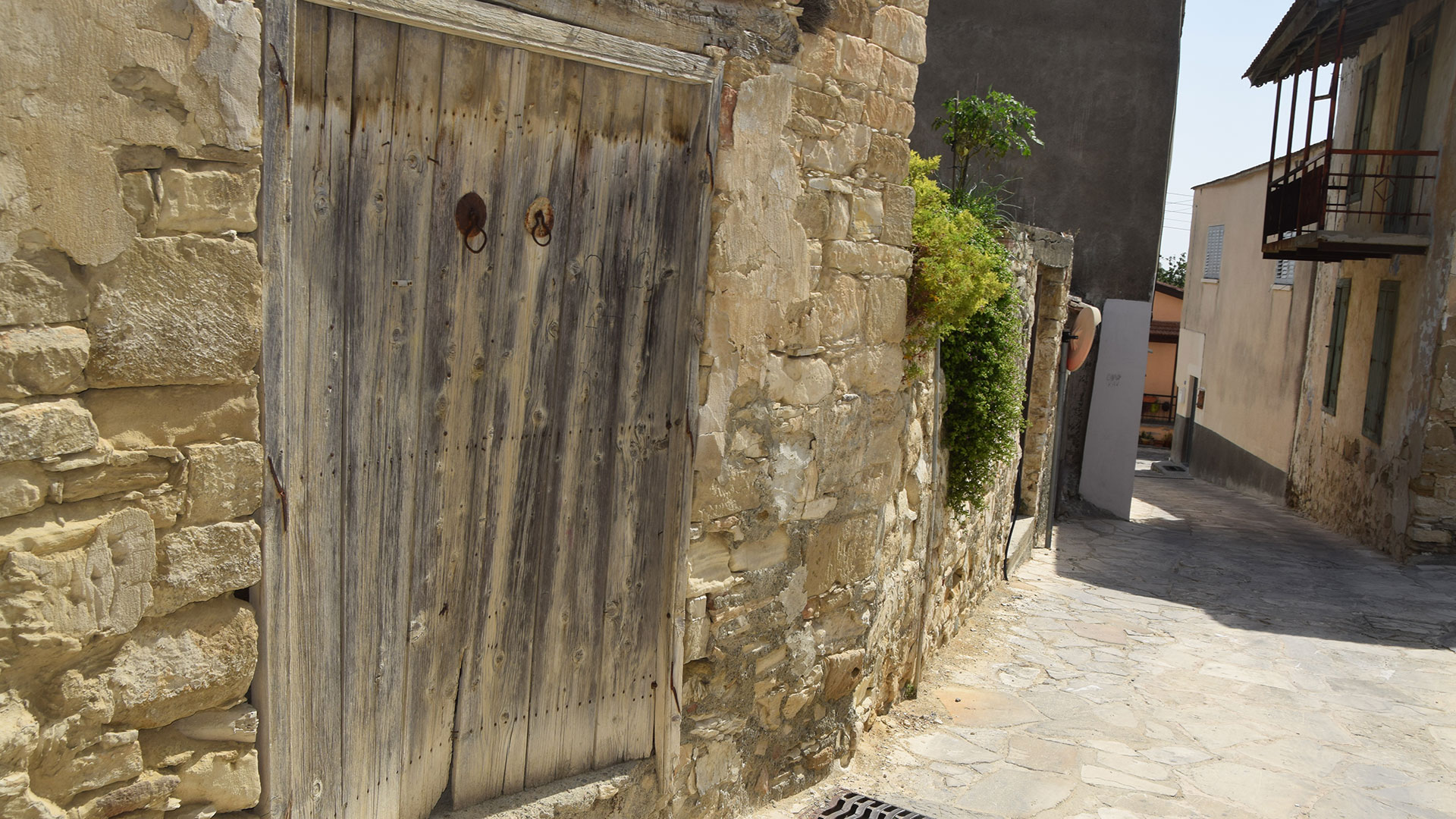
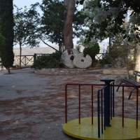
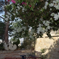
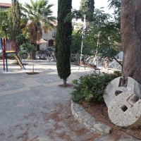
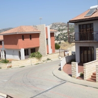
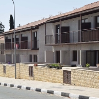
The trail -with a length of 2 kilometers – starts from the central square of the village. In the route through our village you can admire the picturesque character of the community with the paved small streets and the traditional houses. Two houses are built above the street and the pedestrian passes under them as if under a bridge.
Descending down the slope of the mountain, the river of Agios Minas -with its wild vegetation -is found on the left. There you can admire the steep rocky places with their unique beauty. In the middle of the route there is a cave, which -according to tradition -the inhabitants used as a refuge to protect them from the pirates and from various natural disasters. Above the cave there are benches where the pedestrian can rest before advancing to the ridge of the mountain.
Reaching the ridge of the mountain, you see the Neolithic settlement, the main road of Limassol-Nicosia, and -in the background -the sea of Zygi is clearly perceived. From there you can clearly see all the area of the community.
The trail ends at the archeological Neolithic settlement of Khirokitia, where one can admire the splendor and the art of our ancestors.
Throughout the route of the trail there is no interference on nature but only natural vegetation.
Indeed, it is said that if someone takes the whole route of the trail and does not get tired (due to the ascents and the descents that exist) then he has no health problems.
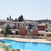
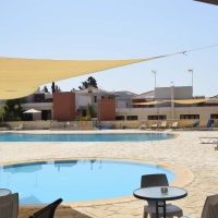
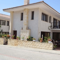
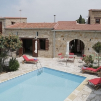
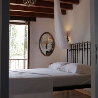
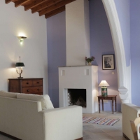
Agrotourism Lodgings
Porfyrios Country House
Address: 4, Grigori Afxentiou, Choirokoitia 7741
Phone: 99 520973
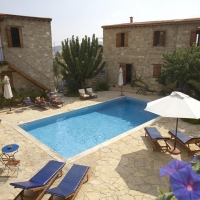
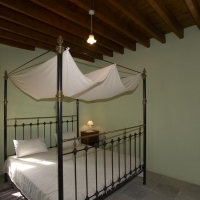
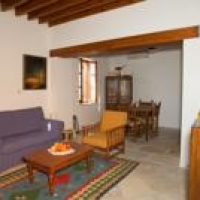
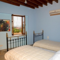
Chirokitia Courtyard
Address: Michalaki Paridi, 7741 Chirokitia, Cyprus
Phone: 96 554227
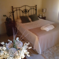
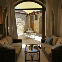
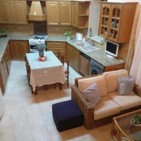
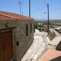
THE HOUSE OF ACHILLES
Phone: +44 (0) 7909538844
Relaxation area
Restaurant -Taverns
| NAME | TELEPHONE |
| Vasiliki Restaurant | 24817478 |
| Panorama Restaurant – Georgia | 24322809 |
| OASIS Restaurant | 24322110 |
| Rainbow Restaurant | 24322866 |
| PANOLIO PALACE – George Thrasyvoulou | 99617431 |
| LYSI Restaurant | 24322746 |
| Souvlakia Αndreas Erotokritou | 99629512 |
| Souvlakia George Isichiou | 99682503 |
| Allocoto Café | 24333338 |
General Information
| NAME | TELEPHONE |
| Community Council | 24323000 |
| President of the Community Council | 99320244 |
| Father Nicolas Vraka | 24322501 |
| Zygi Police Station | 24804322 |
| Ε.Μ.Α.Κ Kofinou | 24804366 |
| Farnacy Demetra Michael | 24323272 |
| Olive oil mill Vassos Charalambous | 99493939 |
| P.S Ktima Erotokritos | 70003390 |
| VENUS CHARADEIO | 99665055 |
| VENUS ΝΙΚΕΙΟ | 99493939 |
| Bakery ChrisMarie | 24323132 |
| Mini Market A&P Medplus | 24323200 |
| Mini Market P.O.V Delivery Market | 24323322 |
| Mini Market Alecos Alexandrou | 24322156 |
| KIOSK A.S ON THE ROAD | 24323315 |
